
Göbekli Tepe shows evidence of geometric planning

Since its discovery in 1995 in south eastern Turkey, the Göbekli Tepe complex has been a hotbed of archaeological activity. It is one of the oldest architectural sites in the world and its complexity and obvious evidence of planning and foresight is a direct challenge to evolutionary ideas of early man. The site is monumental in scale, with huge T-shaped pillars that were moved hundreds of meters from the quarry site.
On the evolutionary timeline, it was allegedly built 11,000–12,000 years ago, by hunter-gatherers who banded together, supposedly “hundreds of years before any evidence of farming or animal domestication emerged on the planet.”1 In the biblical timeline, it was, of course, built after the Flood. Thus, on the one hand, the evolutionists are puzzled how a group of loosely confederated people, who could barely feed themselves let alone an army or workmen, found enough surplus time and foodstuffs to build a monumental complex. On the other hand, the Bible says people were always smart and industrious and we would expect civilization to be rebuilt quite quickly after the Flood.
Biblical connections
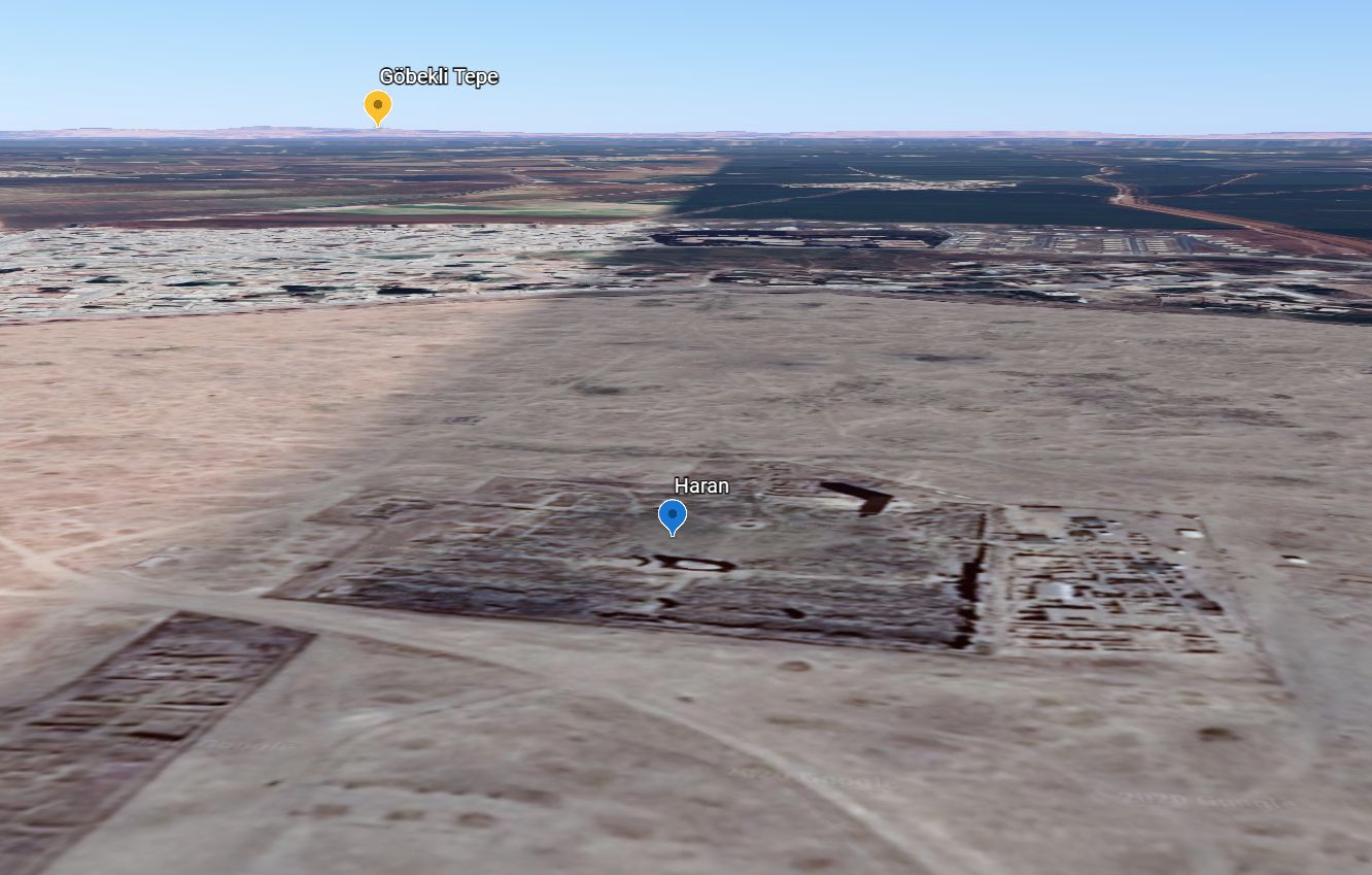
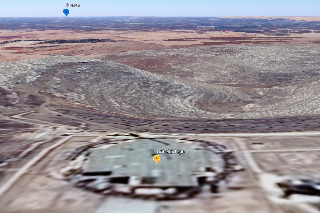
Another strange aspect of the site is that it is so close to a very important early biblical city: Haran. This is where Terah died (Genesis 11:31) and where Abraham, Sarah, and Lot left from to go to the Promised Land (Genesis 12:1–5). It is also the major city in the region (Paddan Aram) where Isaac got his wife (Genesis 24), where Jacob lived for many years (Genesis 28–31), and where 11 of the 12 Patriarchs of Israel were born (Genesis 35:16–20). But Göbekli Tepe is not only near Haran, being just over 50km (30 miles) as the crow flies and 340 m (1100 feet) higher in elevation, it is in a direct line of site! Göbekli Tepe was built on a hill. It is on the southern edge of the line of mountains that stretch all the way north to Ararat. It is also overlooking a wide and well-watered valley, with mountain arms reaching out to the south to enclose the Balikh River basin, one of the tributaries of the Euphrates River. Since Haran was so close to Göbekli Tepe, and since Abraham lived so early in post-Flood history, Abraham’s family could certainly have known about the site. It may even have been in operation during his lifetime.
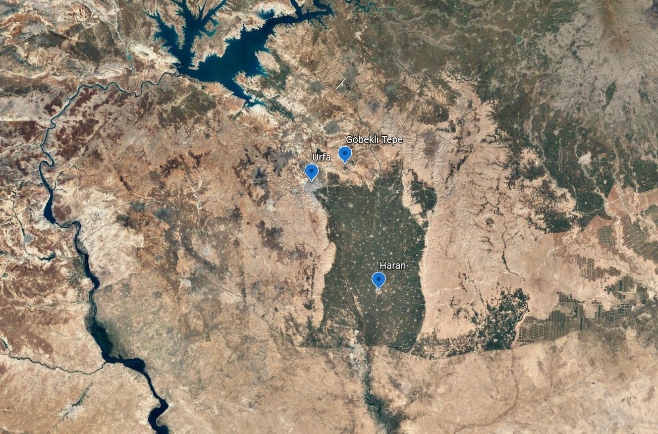
Looking at the big green rectangle, Harran is dead center in the middle of it. Göbekli Tepe is just at the top of the green rectangle. Note also the presence of Urfa, situated at the top left of the green triangle. It is called Şanlıurfa today, and was called Edessa in Roman times. Some have suggested that this is a candidate for “Ur of the Chaldeans” (Genesis 11:28), while others favour the Sumerian Ur of Lower Mesopotamia. (Click on images for larger view.)
Geometric building plan discovered
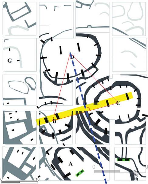
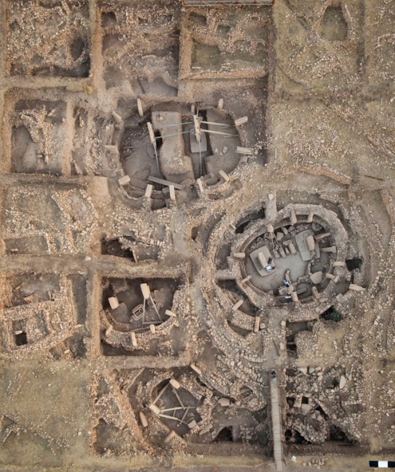
Göbekli Tepe has been turning up mystery after mystery. Besides the scale of the site, some of the pillars are covered in bas relief images of animals, and a few of the carvings are in deep relief, meaning the artisan had to remove a lot of stone to leave, for example, a 3-D crocodile on the side of a pillar. Images include crocodiles, which no longer live in the area, as well as vultures, scorpions, ducks, and lions. To date, three circular enclosures, thought to have been temples, have been excavated, but the majority of the site (90% or more) has yet to be uncovered. A recent architectural examination has tried to explain how the three known stone circles related to each other.2 The enclosures have two enormous free-standing pillars, facing each other on large rectangular bases and surrounded by additional pillars kept in place by a wall. A recent article on LiveScience.com stated, “They found that the two centermost pillars aligned exactly with the midpoint of the circular structures. What’s more, when they drew an imaginary line connecting the centerpoints of three of the structures, they found that it made a nearly perfect equilateral triangle, or one with three equal-length sides” (see image).1
Having now discovered their geometric plan, it is clear that the three enclosures “were planned and initially built as a complex”,2 not just a hotchpotch of separate buildings. This of course means that the builders required mathematical knowledge and a specific architectural plan before arranging for the building material to be obtained and transported to the site.
Making sense of Göbekli Tepe
The secular date places it more than 7,000 years before Stonehenge (which was also built on a geometric pattern—and the subject of recent startling revelations). Yet, strangely, there is little evidence for anything else built on such a massive scale in the intervening years. Archaeologically, it is as if those intervening thousands of years never existed. Rather, it was most likely built by one of the early post-Flood people groups, who carried mathematical and engineering knowledge from their pre-Flood ancestors, around 3,500–4,000 years ago.
References and notes
- Saplakoglu, Y., The world’s oldest temple was built along a grand geometric plan, livescience.com, 25 May 2020. Return to text.
- Haklay, G., & Gopher, A. Geometry and Architectural Planning at Göbekli Tepe, Turkey, Cambridge Archaeological Journal 30(2):343—357, May 2020. Return to text.


Readers’ comments
Comments are automatically closed 14 days after publication.